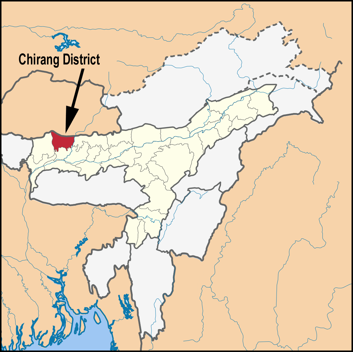
Chirang District is an administrative district in the Bodoland Territorial Region of Assam state in the North-East of India. The historical Bodo Accordin 2003 which constitutionally manadated the legislative powers to Bodo Territorial Council (BTC ) in Assam and it paved the way from creation of Chirang District by curving out from Bongaigaon District and a portion of Kokrajhar District. The District started functioning with effect from 4th June,2004. Chirang is located at 26.6539 degree North and 90.6394 degree East. In the north, it shares boundary with foothills of Bhutan, in the south with Bongaigaon District, in the East with Baksa District and in the West with Kokrajhar District. There are two Blocks in Chirang District namely Borobazar and Sidli Chirang. The land area in Chirang District is 1170 sq.km. The population in Chirang District is 4,81,818 (2011 Census ) with 64.71 literacy rate. Chirang proudly calls itself the home to wildlife rich Manas National Park.The Place is ideal for wildlife lovers and nature enthusiasts who can satiate their thirst for opulent wildlife sighting here. Chirang is also a birdwatcher paradise and lovers of butterflies and orchids. The Assamese and Bodo are the two official languages in the Chirang District.